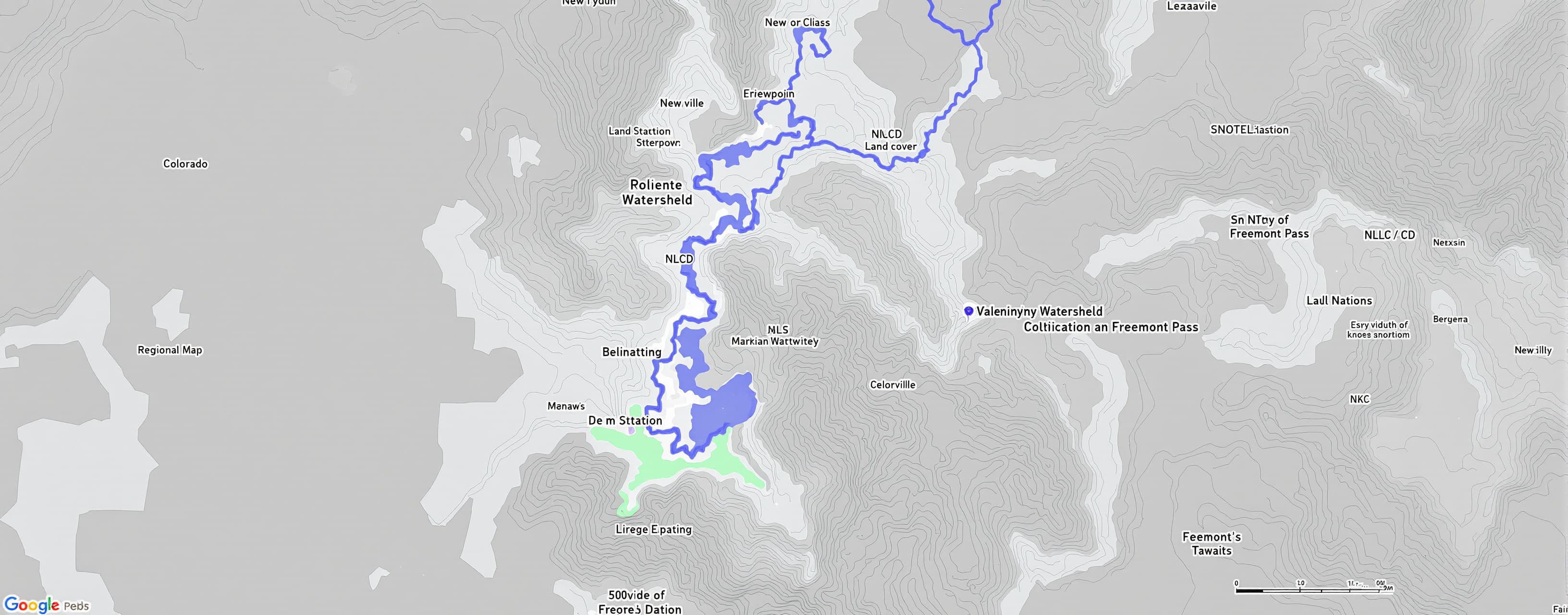
delineating a watershed
Prompt
When coding in R, I would like to create a topographic map that delineates a watershed with the end point being USGS-07083000 stream gauge. I need to download DEM to create the map. Then, I need to clip land cover data from NLCD to the same watershed. The map needs to have a regional map to the state of Colorado to put the map into context. I also need to add points of the ASOS station in Leadville and the SNOTEL station at Freemont Pass. Write code that can do this project. What are the steps that need to be taken to complete this task?
 Z AI
Z AIResponse not available
Drag to resize
Drag to resize
 OpenAI
Drag to resize
 Anthropic
Drag to resize
 Google
Drag to resize