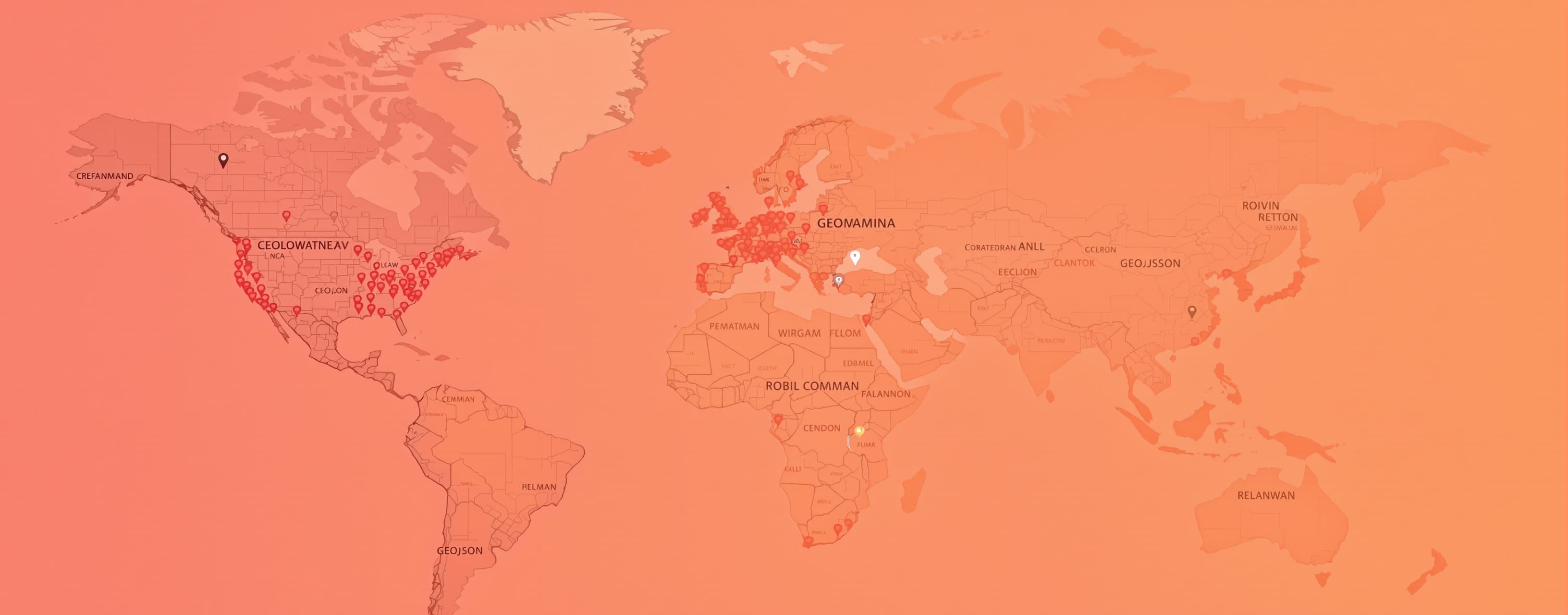
Geospatial bash prompt
A simple prompt that relies on some knowledge of specific command line tools and tests generation of valid GeoJSON.
Prompt
Write a bash script that uses exiftools to scan a directory of photos and extract the coordinates they were taken at (at as high precision as possible) formatting the results as a GeoJSON.

